A Strange Movement Underfoot
Scientists in South Africa have noticed something surprising happening beneath our feet. In some parts of the country, the land is slowly lifting—about two millimetres every year. That might not seem like much, but over time, it adds up. What’s even more shocking is why it’s happening. It’s not because of an earthquake or a volcano. It’s because of water loss.
Yes, you read that right. The land is rising because water is disappearing from it. This slow and silent shift is a new sign of how climate change is affecting us in ways we might not expect. For years, scientists thought the lifting ground was caused by deep forces inside the Earth, like heat and pressure from molten rock. But new research shows it’s something else entirely—something right here on the surface.
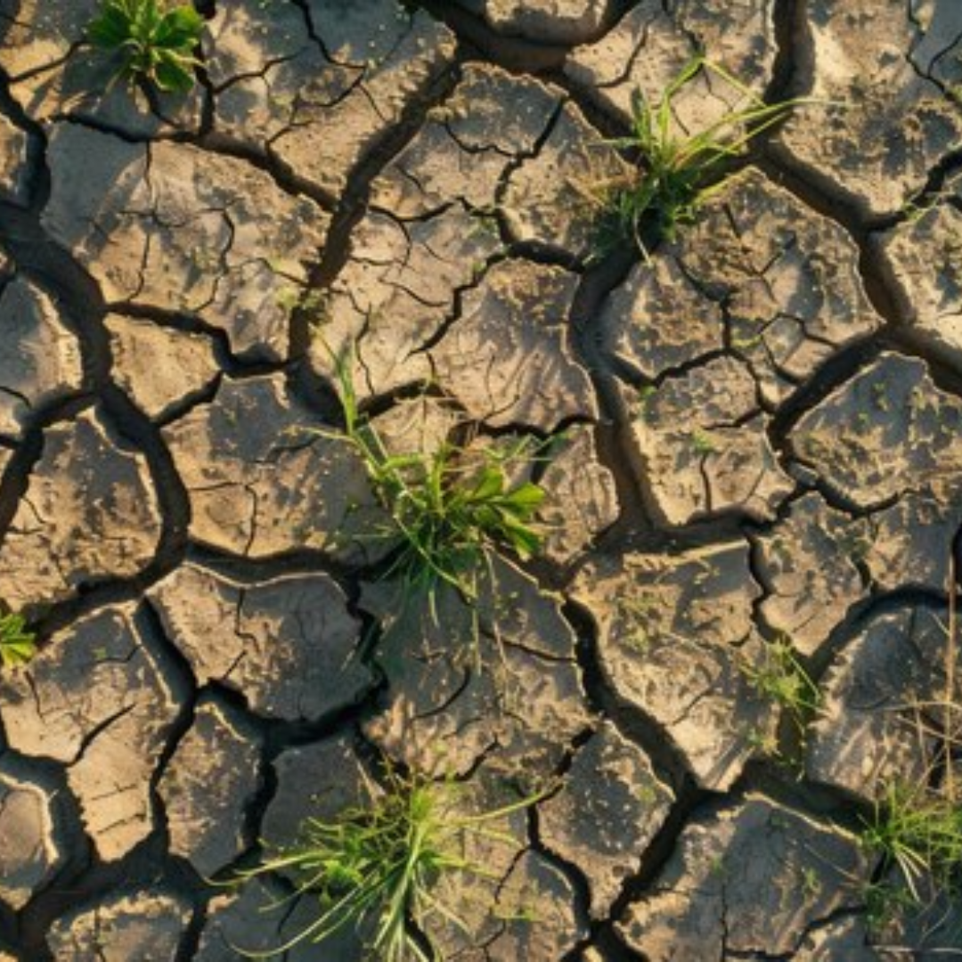
The real reason? Droughts and drying land. As South Africa gets drier and water becomes more scarce, the land is beginning to rise—just like a sponge puffing back up when you stop squeezing it.
A Sponge-Like Earth
To understand what’s happening, think of a sponge. When you press a sponge, it becomes flat. But once you stop pressing, it slowly returns to its normal shape. The land under our feet acts in a similar way.
In South Africa, years of drought have caused water to vanish from the soil, rivers, and underground water stores. Without this water weighing the land down, the ground starts to lift very slowly. It’s not something you can feel, but it’s happening bit by bit, year by year.
This rise isn’t just a random event. It’s directly linked to how much water is lost from the ground. Scientists looked at places where rainfall had dropped and where droughts had been the strongest. In those same places, the land was rising.
The disappearing water—whether from dried-up rivers, thirsty plants, or drained underground reserves—is changing the shape of the land itself. This change shows just how connected water and land are. When one disappears, the other reacts.
Satellites and GPS Uncover the Truth
To study this mystery, scientists used a smart mix of satellite images and GPS stations placed all over South Africa. These GPS stations were originally built to help map the land, but they also measure very tiny movements in the ground. They’ve been collecting data for over 20 years.
From 2012 to 2020, these GPS tools began to show something odd. In areas hit hardest by drought, the ground was rising. At the same time, satellites confirmed that water was vanishing from the same areas. It wasn’t just a guess—the pattern was clear.
The more water the land lost, the more it seemed to rise. This wasn’t because of deep underground activity, but because the Earth was losing weight—literally. With less water pressing down from above and within, the land started to bounce back upward.
To double-check, scientists used computer models to simulate water flow and storage. The results matched perfectly with the GPS and satellite findings. Wherever droughts were strongest and water storage lowest, land lifting followed.
Even big cities like Cape Town showed these signs. During the extreme drought from 2015 to 2019, the ground in some areas began to rise. These GPS and satellite tools could clearly track the changes. If such systems had been used earlier, they might have provided early warnings during the water crisis.
This research has given scientists a powerful new way to see the effects of drought. They can now measure land movement to track water loss. This method doesn’t just tell us where water is missing—it shows us how much the land has changed because of it.
In the end, the Earth itself is revealing the damage caused by disappearing water. The ground is speaking, slowly but surely, and we’re finally beginning to listen.

